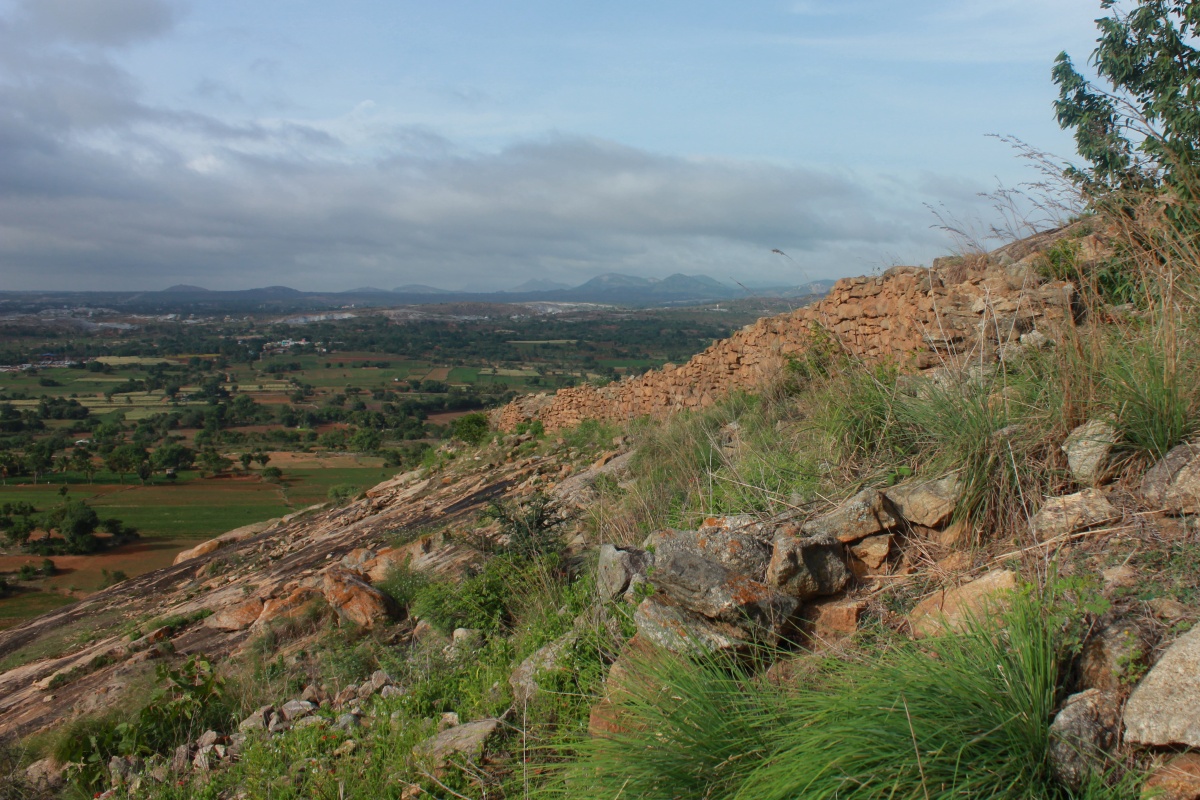
Nandi Hills was our favorite getaway during student days. It was easy to reach and climate at the hill top would be pleasant any time of the year. All visits to the hill are memorable but one visit's weather is unforgettable. it was with engineering college friends during a monsoon, the entire hill would be shrouded in mist from time to time as though it was playing hide n seek. The ambiance was just great! As popularity of Nandi Hills grew, the place got crowded; weekdays was fine but weekends the hill was more crowded than a vegetable market. Post engineering I visited Nandi Betta just two times and then avoided it altogether. Years later I decided to pay a visit just to see the fort walls.
August 14, 2012. I started the day with Varlakonda, then Sir M V memorial at Muddenhalli and Bhoganandeshwara Devastana at Nandi Halli. This picture was taken while cruising towards Varlakonda on NH7 with Sudhakar at the wheel.
 Tipu drop cliff as seen from a spot on ghat roads just before the valley between Brahmagiri and Nandi Betta.
 Kite's eye view of Nandi Durga. Spots I visited are marked in numbers, see index below the image.

 Nandi Durga's history goes back to Chola times, later it was part of Vijayanagara empire, then it was a strong hold for Tipu Sultan's army and finally in the hands of British government. Of course, Nandi Betta is now in Karnataka Rajya.
This is the inner gateway, its quite narrow, designed for security reasons.
 I get off the cab and ask Sudhakar to take his cab right to top and wait for me there. I wanted to walk the entire perimeter of the fort. So I start my walk from this ancient stepped well. A signage close by calls this Antara Gange but I'm not sure of this is also called as Amrutha Sagar. This is a favorite spot for movie makers, especially song scenes. In and around this well are a bunch of red-face monkeys, at least one was a rouge type, he blocked our path with a nasty growl baring his fangs. Good I was not carrying any food in my backpack.
 I walk on the tar road which runs along the fort wall for a short distance, there are couple of bastions from where you get a good view of the walls.
 During my first visit I remember seeing the birthplace of river Arkavati. Back those days there was no board indicating the spot but there was water in the pit. Now there's a board - Arkavati Ugamastana -but the pit is dry :-( Besides Arkavati, Nandi Betta is birthplace for two more rivers Palar and Pennar.
 Nandi Betta has two neighboring hills- Channagiri and Brahmagiri on its north and south respectively. This is Brahmagiri.
 With an uphill trek through light woods I reach Tipu drop. A bunch of college boys were partying close by and another group were busy snapping away brave poses dangerously close to the edge. It is said that during Tipu rule, criminals' death sentences would be carried out here- they would be dropped off this sheer vertical cliff. this part of the hill doesn't need walls- the cliff is can't be scaled.
 With Tipu drop behind me, I am looking at Yoganandeshwara temple's rear entrance. In the inset is the front gateway.
 Now I'm very close to Mayura Hotel. A large platform has been installed here, you get a good view of the plains below. This is the T-junction; left to Muddenhalli, straight to Devanahalli and right to Doddaballapura.

 That's Nallikyai Basavanna. Nallikayi is the Kannada word for gooseberry. As you see the mantapa is in ruins. I wish concerned government officials would repair this structure instead of spending on unwanted cement and steel structures on this hill.
 This Basavaana is said to be 1300 years old i.e. of Chola period and this hill was known by the name Ananda Giri. It is believed that this hill is named after this Nandi, the other name for Basavanna.
On this hill are several caves, this are few but sadly the caves seemed to be modified with stone and cement walls. This spot is called as Brahmashram.
 This was one of my favorite walks on Nandi Betta.
 This is Palar Ugamastala. Just like Arkavati Ugamastala, I see another dry pit :-(
 Little further up is the north-eastern corner of the fort. A narrow gateway in the wall opens out to steep face.
 I step out and go down a dangerously narrow and steep footpath. I could feel the momentum build up rapidly and it some effort to control my speed.. the shoes were skidding and crunching pebbles on the hard-dry dirt. The path goes along the northern wall and probably connects to the gateway at the north-western corner.
 Back inside the fort, I walk along the wall. This stretch is littered with several modern buildings.. this guest house, that guest house ..utter rubbish! People concerned with these constructions are just converting this hill into another town. A little further, the path goes downhill, into the woods. This stretch is a favorite for romancing couples.. I happen to see one pair.. they must have cursed me for intruding their private moment.
 Another shocking thing was to see a row of 3 or 4 single room cottages built in the midst of greenery. The surroundings was littered with construction waste to the extent of blocking the path. I had to do circus to get across the hurdle. Further down is this ancient structure which seems like a sentry house. Vandals have destroyed its walls. I just wonder why it is difficult for people to just leave things as they are.
 I pass by the stepped well and reach Tipu's lodge. The brick and mortar structure is built on the fort wall itself with a gateway below. Tipu lodge is not open to public, that's one way to protect the monument from vandals.
 The gateway opens to a flight of granite steps which leads right down to the base of the hill, in the valley between Nandi Betta and Channagiri. People coming by foot from Sultanpet take this route. A short distance from this lodge is Gavi Veerbhadra Swamy temple.
 The lodge has a small courtyard, ine one corner are three hero-stones. Two stones have Lord Shiva on them; one in the form for Ling and other in human form. These could be of Chola times.
 Having walked the entire perimeter I must have walked 2.5 kms of ups and downs. I decide to head back the top. I take the shortest route to Nehru Nilaya. This being a VIP guest house has a well maintained garden consisting of several species of flowers, croutons and even cactus.
 Two cannons from Hyder-Tipu times. They look real solid.
 I find the cab and Sudhakar resting inside. After a 3 km non-stop trek I had lost lot of fluids. Water felt refreshing, in fact it had cooled considerably. Done with the tour we start our descent and stop for a quick shot of Tipu drop. It's hard to survive that fall. Moreover, during those days this spot below might have been free of vegetation so that executioners know the fate of the person thrown down.
 Our next destination was Kundana fort, a small fort on a rocky hillock south of Nandi Betta.
Nandi Durga coordinates: 13°22'13"N 77°40'58"E
.........
August 14, 2012. I started the day with Varlakonda, then Sir M V memorial at Muddenhalli and Bhoganandeshwara Devastana at Nandi Halli. This picture was taken while cruising towards Varlakonda on NH7 with Sudhakar at the wheel.


- Fort entrance - outer
- Fort entrance - inner
- Anthar Gange and Nursery
- Arkavati Ugamastana
- Tipu Drop
- Yoga Nandishwara Swamy Devastana
- Nallikai Basavanna
- Brahmasharam
- Palar Ugamastala
- Gateway
- Tipu Sultan Summer House
- Cubbon House

This is the inner gateway, its quite narrow, designed for security reasons.


To continue walking along the fort I had to climb down a bit. A strange sight greets you at the trial; a canon with its nose stuck in dirt.


On this hill are several caves, this are few but sadly the caves seemed to be modified with stone and cement walls. This spot is called as Brahmashram.


Nandi Durga coordinates: 13°22'13"N 77°40'58"E
.........
Detail:
Nandidurga ~ Nandi hills & fort