November 24, 2012
The agenda for the day was to visit Hanamasagar, Dammur and Arshibidu. We started early, took Gadag-Gajendragadh-Hanamasagar route. As we drove out of Gajendragadh a lone hill came into view. The hill looked as it was created by a rock trying to break out of the ground below.
What caught our attention was a temple on a narrow ledge and ruins of a fort at the top.
We decide to climb and have breakfast up there. The temple is actually built on a overhang barely 10' wide.
A narrow flight of steps is the only way link to the temple.
That's Ravi looking down at the gap we just climbed out from. I was half way inside the shelter when I shot this picture.
What seemed like a temple may not be one because there's no Garbhagudi. Perhaps this is a shelter or an incomplete temple.
The ledge is barely 15' wide. A stone rolled here would plunge down to meet the hill slope 40 feet below and then continue rolling down.
A cavern. This might have been the temple. There are two sculptures; an elephant and a 2½' standing human figure, eyes shut and palms joined. The human sculpture could be of a prince or a king.
A water tank to store rain water. We had breakfast; upit and black tea.
Ravi decided to go back to his cab. Malatesh and I wanted to explore the hill top. We went past the water tank, a really narrow path. Few steps and a ruined gateway lead us here.
The construction is neat.
An ancient quarry site- stones for the temple-like structure, walls and and a bastion must have been sourced from here.
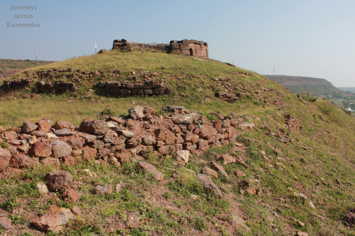
That's the summit with an incomplete watch tower and walls.
This hill offered a good view of Gajendraghad fort and surrounding plains. Perhaps, a smaller fort was planned here as to give security to the main fort. Malatesh in action- he's shooting the main fort with his camcorder mounted on a tripod.
Part of the main fort. These forts were built when this area was under Chatrapati Shivaji's rule.
Close to the base of the hill are 3 solid looking bastions 25' in diameter x 25' high. I feel a fort was planned here but the plan was abandoned for some reason.
Close look at one of the three bastions. Notice the lion and elephants emblems. This reminds me of lions at Mudkavi fort and Bijapur's Mulk-e-Maidan.
We wanted to find the name of this hill and the temple above. We found a man in a a thatch roof hut close to the base of the hill. he said they just called his hill as Somesvara. We did not bother him with more questions. Back home, while scanning the area I happened to discover another fort close to the eastern tip of the main hill. A Wikimapia user had marked it as
fort near Kuntoji village. Another fort to my list.
We head towards Hanamasagar.
Coordinates: 15°44'18"N 75°59'14"E
.........